

LAST UPDATE
|
54 mins ago
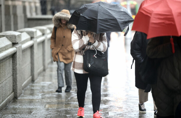
THE STATUS YELLOW rain warning issued by Met Éireann for five counties from tonight has now been extended to 17 counties.
The national forecaster has placed all of Leinster, as well as counties Cavan, Monaghan, Cork, Tipperary and Waterford under a rain warning from 11pm tonight to 11pm tomorrow.
It warned that rain falling on already saturated ground combined with high river levels will lead to flooding, poor visibility and difficult travelling conditions.
Separately, counties Wexford, Wicklow, Dublin, Meath and Louth have been placed under a Status Yellow wind warning.
Met Éireann has warned that strong and gusty southeasterly winds combined with high tides may lead to wave overtopping, fallen trees and loose debris and difficult travelling conditions.
The warning will be valid from 11pm tonight to 1pm tomorrow.
Forecast
Today is forecast to be cold and dry for the most part. Temperatures between 3 to 7 degrees are expected, and it will become breezy.
Cloud will thicken from the southwest through the day, and outbreaks of rain and drizzle will spread across Munster from the southwest.
It will become wet and windy overnight with outbreaks of rain becoming widespread, possibly falling as sleet or snow at times in the west and northwest and on higher ground.
Temperature between 0 to 5 degrees are expected early in the night, but will become milder later.
Tomorrow will be wet and breezy with widespread outbreaks of rain and drizzle, possibly falling as sleet or snow for a time in the northwest and on higher ground.
The rain will gradually become confined to Leinster and Ulster with scattered showers following for Connacht and Munster.
“Already saturated ground, together with strong onshore winds coinciding with high tides, mean that some spot and coastal flooding is likely,” the forecaster warned.
Temperatures of between 2 to 5 degrees are expected in the north, and between 5 to 10 degrees elsewhere.