

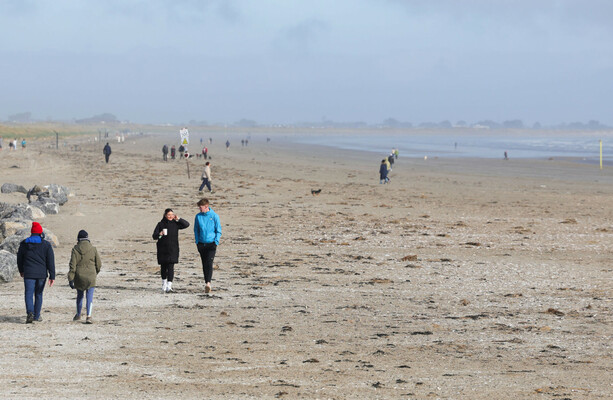
A SAND SPIT that has recently formed beside the Dart line at Booterstown in Dublin is to be examined as a potential natural barrier which could help to protect the line from flooding.
Dún Laoghaire-Rathdown County Council management has agreed to carry out a study on the newly-formed sand spit to see whether it could be used as a natural flood defence.
A sand spit is a long, linear stretch of beach material that forms where the coastline changes direction, creating a natural buffer between sea and shore.
Green Party councillor Conor Dowling welcomed the council’s management agreement to assess the evolving landform, which he described as a ‘nature-based solution evolving in real time’.
Dowling said the spit could potentially form part of the flood defences needed for the area.
Parts of the Dart line were badly hit by floods during the recent Storm Chandra, which devastated parts of south Dublin as well as other areas in the south east of the country.
Dowling described the new sand spit as a possible ‘South Bull Island’. North Bull Island is a national nature reserve in Dublin Bay. It is a low-lying sand spit with Dollymount Strand on the seaward side of the man-made island.
“Protecting the DART line is essential, but the answer cannot simply be pouring concrete everywhere,” he said.
“We need to understand how natural features like this spit can absorb wave energy, reduce overtopping risk and complement engineered defences while ensuring communities are not unnecessarily cut off from Dublin Bay.”
He said the study should examine the spit’s ecological value, its connectivity with Booterstown Nature Reserve, and how native planting could help stabilise the feature over time.